Accurate measurements are the foundation of every successful construction project. From preparing a site to checking building levels and setting out structures, construction teams need reliable measurement tools. This is where survey engineering equipment becomes important.
The right survey equipment helps construction professionals collect accurate field data, reduce errors, save time, and keep projects on schedule. Modern tools also make it easier to transfer measurements from the field to design and construction plans.
In this guide, we will explain the most important survey engineering equipment, what each tool does, and how construction professionals can choose the right equipment for their projects.
What Is Survey Engineering Equipment?
Survey engineering equipment refers to the tools and instruments used to measure land, distances, angles, elevations, positions, and other important site information.
These tools are commonly used by surveyors, civil engineers, contractors, site engineers, and construction teams. The collected measurements can be used for land surveying, construction layout, road projects, building construction, infrastructure development, and site planning.
Some traditional tools are simple and easy to use, while modern instruments use electronic measurement, satellite positioning, and digital data collection.
Using suitable survey engineering equipment can help construction teams improve accuracy and avoid costly mistakes.
Why Is Survey Engineering Equipment Important in Construction?
Construction projects depend on accurate measurements. Even a small measurement error can create problems when foundations, columns, roads, drainage systems, or other structures are being built.
Here are some key benefits of using professional survey equipment:
1. Improves Measurement Accuracy
Survey instruments help professionals take precise measurements of distances, angles, elevations, and locations. Accurate data makes construction layout easier and more reliable.
2. Saves Time
Modern survey engineering equipment can collect and store measurements quickly. Digital instruments can reduce manual calculations and make fieldwork more efficient.
3. Reduces Construction Errors
Accurate surveying helps teams identify incorrect locations, levels, and dimensions before construction work progresses too far.
4. Supports Better Site Planning
Survey data provides important information about the existing site. Construction professionals can use this information for planning foundations, roads, utilities, drainage, and other structures.
5. Helps Control Project Costs
Better measurements can reduce material waste, rework, and delays. This can have a direct impact on overall construction costs.
Essential Survey Engineering Equipment and Their Uses
Different construction projects require different types of surveying instruments. Below are some of the most commonly used tools.
1. Total Station
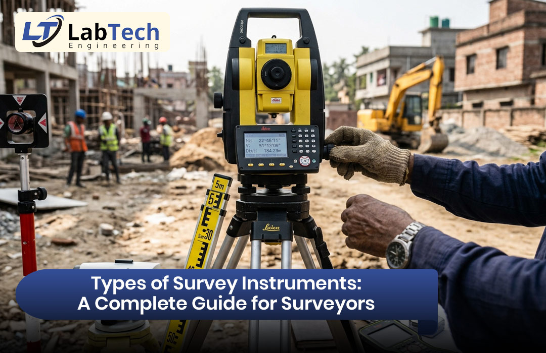
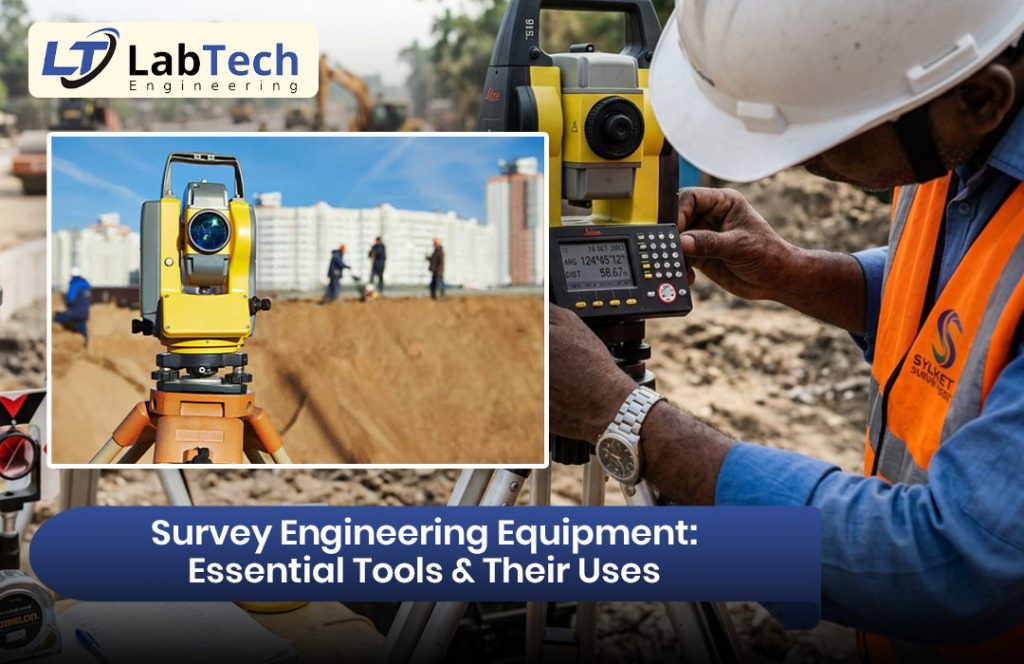
A total station is one of the most widely used pieces of modern survey engineering equipment.
It combines electronic angle measurement and distance measurement in one instrument. A total station can measure horizontal angles, vertical angles, and distances. Many models can also calculate coordinates and store field data.
Common uses:
- Construction site layout
- Building setting out
- Road and infrastructure projects
- Boundary surveys
- Elevation measurements
- Position and coordinate collection
Total stations are particularly useful when high accuracy and digital data collection are required.
2. Theodolite
A theodolite is designed mainly for measuring horizontal and vertical angles.
Although many construction teams now use total stations, the theodolite remains useful for specific surveying and construction applications.
Common uses:
- Measuring angles
- Establishing straight lines
- Alignment work
- Construction layout
- Checking verticality
A theodolite is a useful option when precise angle measurement is the main requirement.
3. Automatic Level
An automatic level, also known as an auto level, is used to determine differences in elevation between points.
It is commonly used on construction sites because it is relatively simple to operate and provides reliable leveling measurements when set up correctly.
Common uses:
- Foundation level checking
- Road construction
- Drainage work
- Floor level checking
- Site grading
- Establishing benchmark elevations
For many construction projects, an automatic level is an essential part of the survey engineering equipment setup.
4. Digital Level
A digital level performs leveling work electronically and can provide digital readings. Depending on the instrument and setup, it can reduce reading and recording errors compared with traditional methods.
Common uses:
- Precise elevation surveys
- Construction leveling
- Benchmark establishment
- Structural projects
- Monitoring elevation changes
Digital levels can be especially useful when a project requires detailed and repeatable elevation measurements.
5. GNSS/GPS Survey Equipment
GNSS surveying equipment uses signals from satellite positioning systems to determine the location of a point on the Earth’s surface.
Construction professionals can use GNSS equipment to collect coordinates and establish accurate site positions.
Common uses:
- Land surveying
- Construction site positioning
- Road and highway projects
- Large site mapping
- Machine control
- Topographic surveys
GNSS equipment can be highly useful on large construction sites where many points need to be located efficiently.
6. Measuring Tape
A measuring tape may seem simple compared with advanced electronic instruments, but it is still useful construction survey engineering equipment.
It can be used for quick distance checks, measurements between nearby points, and general site work.
Common uses:
- Short-distance measurements
- Building layout checks
- Dimension verification
- Preliminary measurements
- General construction work
For small measurements, a quality measuring tape can save time because it is quick to set up and use.
7. Laser Distance Meter
A laser distance meter uses a laser to measure the distance between the instrument and a target.
It is useful when construction professionals need quick measurements without manually stretching a tape across a space.
Common uses:
- Room dimensions
- Building measurements
- Height estimation
- Interior construction work
- Quick distance checks
Laser distance meters are compact, fast, and convenient for many everyday construction tasks.
8. Prism and Prism Pole
Prisms are commonly used with total stations. The prism reflects the instrument’s measurement signal back to the total station, allowing the instrument to determine the distance and position of the target.
A prism pole holds the prism at a known height.
Common uses:
- Coordinate measurements
- Construction setting out
- Topographic surveys
- Distance measurement
- Position verification
The quality and correct setup of accessories such as prism poles can also affect field measurement results.
9. Survey Tripod
A stable tripod is essential for many types of survey engineering equipment. Total stations, levels, and other instruments need a stable platform to provide reliable measurements.
A good tripod should be strong, stable, and suitable for the instrument being used.
Common uses:
- Supporting total stations
- Supporting levels
- Supporting theodolites
- Maintaining instrument stability
Even an advanced surveying instrument can produce poor results if it is placed on an unstable setup.
10. Survey Data Collector
A survey data collector is a digital device used to collect, store, and manage field measurements.
Modern data collectors can connect with surveying instruments and help construction teams organize field information more efficiently.
Common uses:
- Recording survey points
- Managing coordinates
- Field coding
- Data transfer
- Construction layout
- Digital field documentation
Digital data collection can reduce paperwork and make it easier to transfer field information into office software.
How to Choose the Right Survey Engineering Equipment
Choosing the right survey engineering equipment depends on the type, size, and accuracy requirements of your construction project.
Before purchasing or renting equipment, consider the following factors:
Accuracy Requirements
Determine how precise your measurements need to be. A basic site measurement may require different equipment from a large infrastructure project.
Project Type
Building construction, road construction, land development, and utility projects can have different surveying requirements.
Site Conditions
Consider terrain, weather, visibility, available access, and the size of the site. These factors can influence which instruments are most practical.
Ease of Use
Equipment should be suitable for the skill level of the people using it. Complicated instruments may require proper training.
Data Compatibility
For digital projects, check whether the equipment can transfer data to the software and systems your team already uses.
Service and Support
Choose equipment from a reliable supplier that can provide calibration, technical support, repairs, accessories, and replacement parts when needed.
Survey Equipment for Modern Construction Projects
Construction technology is becoming increasingly digital. Surveying is also moving from manual measurements toward connected digital workflows.
Modern survey engineering equipment can help teams collect field data and move it into digital project systems. Total stations, GNSS receivers, digital levels, scanners, and data collectors can support more efficient site workflows.
For contractors and construction companies, this means surveying is not simply about taking measurements. It is also about creating reliable data that can support planning, layout, quality control, and project documentation.
When selecting equipment, construction professionals should therefore look beyond the initial purchase price. Accuracy, durability, software compatibility, training, maintenance, and technical support can all affect the long-term value of the equipment.
Common Mistakes When Using Survey Engineering Equipment
Even high-quality equipment cannot guarantee accurate results if it is used incorrectly.
Some common mistakes include:
- Not checking instrument calibration
- Setting up the tripod on unstable ground
- Incorrectly measuring instrument height
- Poor leveling of the instrument
- Entering incorrect project or coordinate information
- Failing to check measurements
- Ignoring environmental conditions
- Not maintaining equipment properly
Regular equipment checks and proper operator training are important for maintaining reliable results.
Final Thoughts
The right survey engineering equipment can make construction surveying faster, more accurate, and more efficient. Total stations, GNSS equipment, levels, theodolites, laser distance meters, prisms, tripods, and digital data collectors all have important roles in modern construction.
However, the best equipment depends on your project’s requirements. Before buying or renting an instrument, consider accuracy, project size, site conditions, software compatibility, operator experience, and after-sales support.
If your construction project requires reliable surveying tools, working with an experienced survey equipment supplier can help you identify the right instruments and accessories for your specific needs. The right solution can reduce measurement errors, improve site productivity, and help your team complete work with greater confidence.
Frequently Asked Questions
1. What is survey engineering equipment?
Survey engineering equipment includes instruments used to measure distances, angles, elevations, coordinates, and positions for surveying and construction work.
2. What is the most common survey equipment used in construction?
Total stations, automatic levels, GNSS equipment, measuring tapes, prisms, and digital data collectors are commonly used for construction surveying.
3. What is a total station used for?
A total station is used to measure angles and distances and determine the positions or coordinates of points. It is widely used for construction layout and surveying.
4. How often should survey equipment be calibrated?
Calibration requirements depend on the equipment, manufacturer recommendations, usage, and project requirements. Regular checks and professional calibration help maintain measurement accuracy.
5. Should construction companies buy or rent survey equipment?
It depends on project frequency, duration, budget, and equipment requirements. Buying may make sense for companies with regular surveying needs, while renting can be useful for occasional or specialized projects.